 at the University of Oklahoma
Geospatial Information Science Day
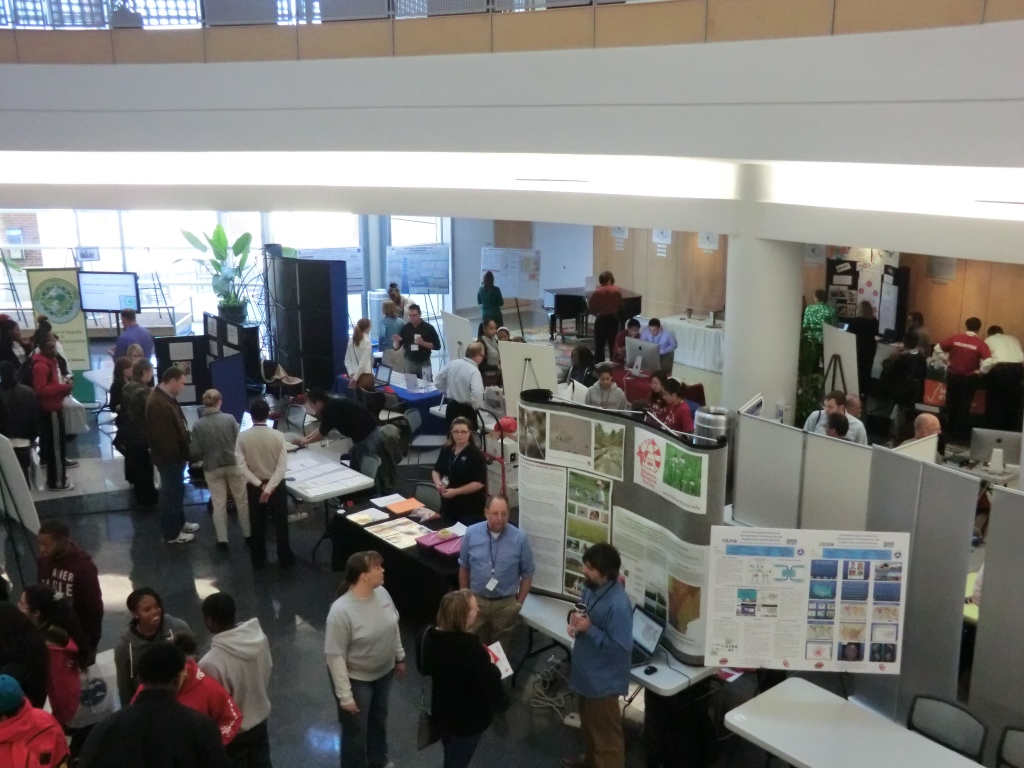
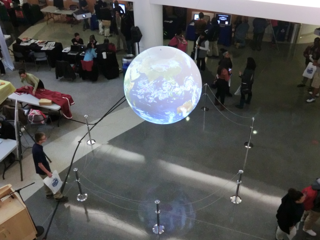
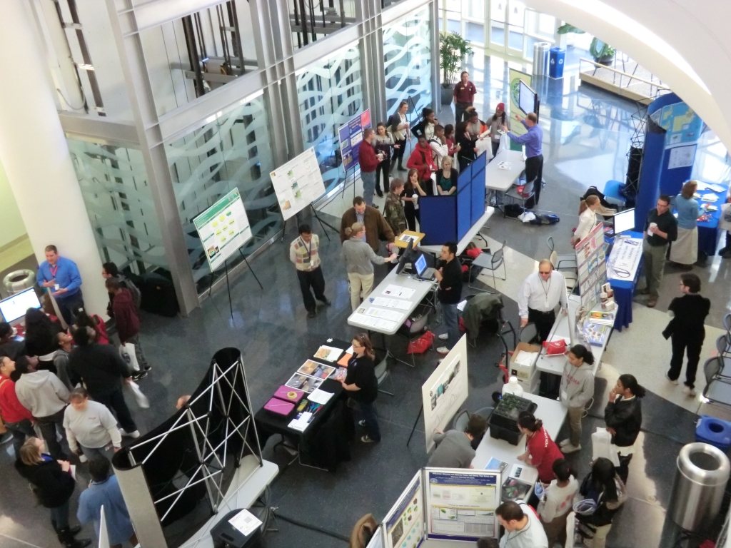
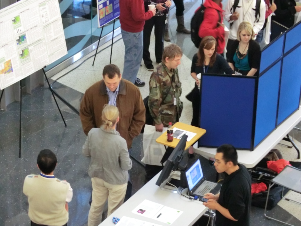
Geospatial technologies (remote sensing, global positioning systems, geographic information systems) have been evolving rapidly over the past few decades and play an increasing role in our society and daily life. The annual GIS Day Expo at the University of Oklahoma (OU) celebrates and showcases a broad spectrum of research, education, and outreach activities related to geospatial science, technology and applications to attract and retain both undergraduate and graduate students in science, technology, engineering and mathematics, and prepare them for future employment in the geospatial sector.
GIS-Day serves as a platform for
- Informal education and awareness of geospatial technologies and their applications among OU students, faculty, researchers and K-12 students
- The exchange and presentation of ideas and research between students and faculty
- Linking to the larger GIS community including government agencies and private industry
Join the global community observing International GIS Day, which was first celebrated in 1999 and has been held by more than 10,000 organizations in 80 countries across the world (http://www.gisday.com)