Welcome to the Center for Earth Observation and Modeling (CEOM)
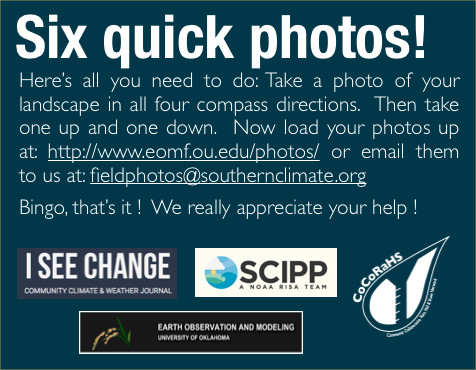
In effort to participate in crowdsourcing and citizen science, we have developed the Global Geo-Referenced Field Photo Library, for participants to share, visualize, and analyze geo-referenced photos from various locations around the world, download, visualize and analyze time series satellite observations since 2000 for specific landscapes of interest.
You can download the field photo app from:
Follow this video on how to use the app.
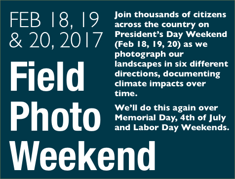
Please join thousands of people to share your field photos, show your footprint of travel, and support monitoring of our Planet Earth.
